
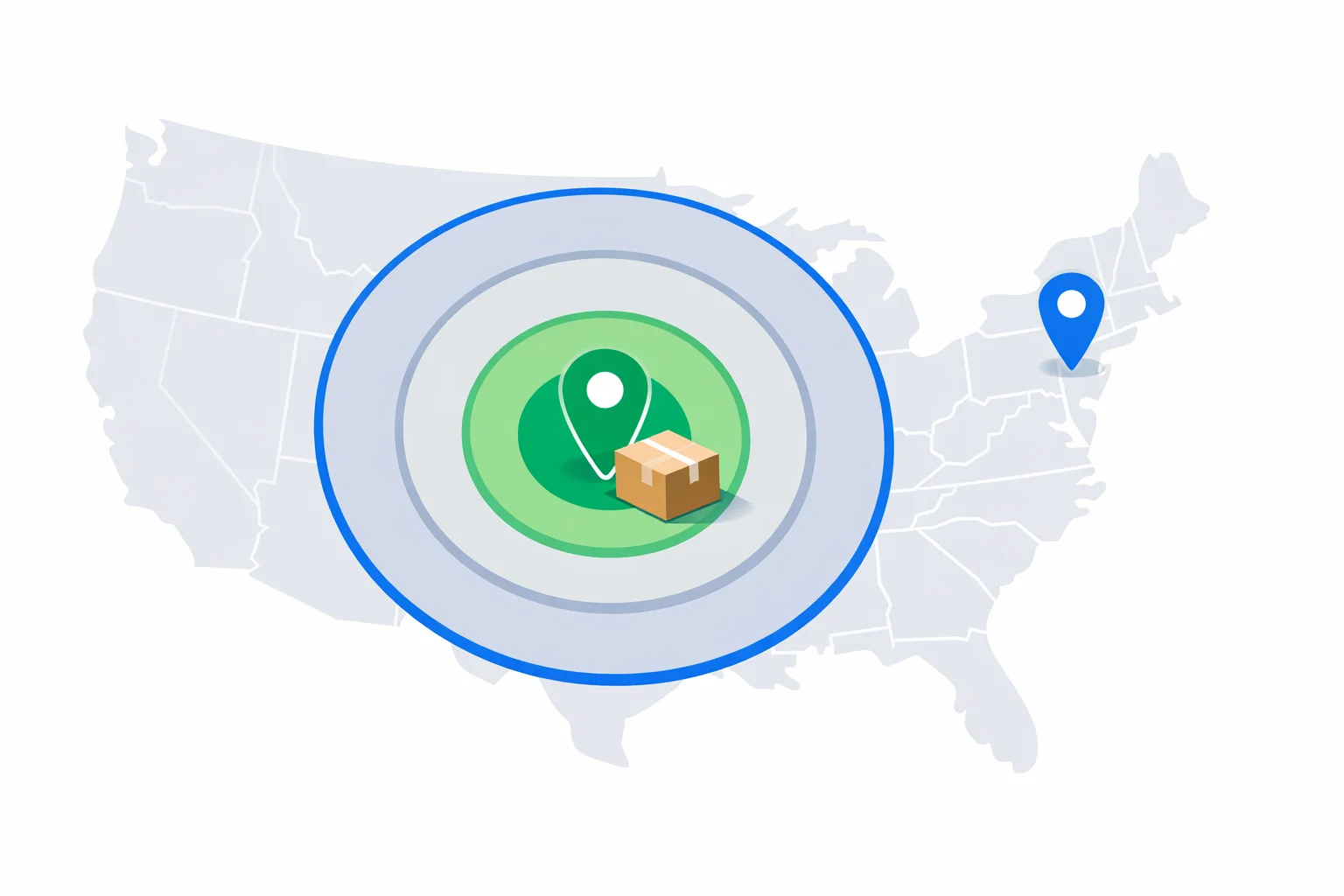
A USPS shipping zone calculator answers one question: which of the nine pricing zones your package falls into, based on how far it's going. The official definition sounds simple — Zone 1 is within 50 miles, Zone 8 is 1,801 miles or more. Here's the twist most sellers miss: USPS never measures the distance your package actually travels. It measures the distance between the centers of two 3-digit ZIP prefix areas. Your box can ride 2,300 road miles through three sorting hubs and still be priced as a straight 1,742-mile Zone 7 shipment, because Los Angeles (900xx) to Chicago (606xx) is one fixed pair in a lookup table. The calculator above estimates that same lookup from point-to-point distance, and this guide covers what each zone spans, what a higher zone adds to the price, and the cases where zones don't matter at all.
Does USPS Measure the Miles Your Package Travels?
No — and that myth causes real confusion. The route your parcel takes is irrelevant: no truck odometer, no hub detours, no driving directions. The zone system works off the first three digits of the origin ZIP and the first three digits of the destination ZIP. USPS keeps a table of every prefix pair, built from the straight-line distance between the geographic centers of those areas, and each pair maps to exactly one zone. Ship from 900xx to 606xx and it's the same zone whether your package leaves from a post office counter in Koreatown or a garage in Echo Park.
The centroid detail explains a second surprise: two houses a few miles apart can sit in different zones. If your street is near the edge of a prefix area, the measured distance starts from the middle of that area, not from your porch. A shipment that's 590 straight-line miles door-to-door might be recorded as 615 centroid-to-centroid — nudging it from Zone 4 into Zone 5. That's why our estimate carries a ±1 zone tolerance near band edges, and why the official USPS zone chart is the final word once you have both exact ZIPs.
The Nine Zone Bands and the Miles Behind Them
These bands come straight from USPS pricing documentation and haven't changed in years, even as the prices attached to them climb annually. Two quirks worth knowing before you read the table: Zones 1 and 2 share a single price column on every retail chart, so the 1-vs-2 distinction never costs you anything. And Zone 9 isn't a distance band at all — it exists only for the Freely Associated States (Palau, the Marshall Islands, and Micronesia).
| Zone | Distance band | Example pair | Typical price vs Zones 1–2* |
|---|---|---|---|
| 1 | 1–50 mi | Baltimore → Washington, DC (35 mi) | Baseline |
| 2 | 51–150 mi | New York → Philadelphia (81 mi) | Baseline (same column as Zone 1) |
| 3 | 151–300 mi | Dallas → Houston (225 mi) | ~5% more |
| 4 | 301–600 mi | San Francisco → Los Angeles (347 mi) | ~10–15% more |
| 5 | 601–1,000 mi | New York → Chicago (711 mi) | ~25% more |
| 6 | 1,001–1,400 mi | New York → Miami (1,092 mi) | ~45% more |
| 7 | 1,401–1,800 mi | Los Angeles → Chicago (1,742 mi) | ~55–60% more |
| 8 | 1,801+ mi | New York → Los Angeles (2,446 mi) | ~65–70% more |
| 9 | Freely Associated States | Any US origin → Palau | Highest domestic tier |
*Approximate spread for a mid-weight retail Priority Mail package; exact prices are in USPS Notice 123, the full price list.
Alaska, Hawaii, and Puerto Rico use the same distance bands — there's no special territory zone. Los Angeles to Honolulu measures 2,560 miles, so it's ordinary Zone 8, exactly like a New York to Los Angeles shipment. Seattle to Anchorage comes in at 1,435 miles: Zone 7, cheaper than shipping cross-country.
How Do You Find Your Zone Without a Chart?
Estimate the straight-line distance and read it against the bands — that's all the calculator above does. It runs the same haversine math as our great circle distance calculator, then maps the mileage to a band. Three lookups, worked end to end:
- Memphis → Nashville: 196 straight-line miles. That clears the 151-mile floor of Zone 3 but stays under 300 — Zone 3.
- Chicago → Denver: 918 miles point to point — comfortably inside the 601–1,000 band, so Zone 5. Note that Google Maps says this drive is over 1,000 miles, which would wrongly suggest Zone 6.
- New York → San Juan: 1,607 miles over water — Zone 7, not the Zone 8 most shippers assume for Puerto Rico.
The driving-miles trap in that second example is the one mistake that actually costs money. Road distance runs 15–25% longer than straight-line distance, so quoting shipping from your maps app systematically overstates zones near band edges. A seller who quotes customers Zone 6 pricing on what is really a Zone 5 lane overcharges roughly $2.40 on a 5-pound Priority Mail box — and one who does the reverse eats that margin instead, about $2,500 a year at twenty packages a week. When the estimate lands within about 25 miles of a band edge, confirm the pair on the official chart before you print a rate card.
How Much Does a Higher Zone Actually Cost?
For zone-priced services — Priority Mail, Ground Advantage, and Priority Mail Express — the zone is one of the two axes on the rate table, alongside weight. Our carrier comparison prices a 5-pound retail Priority Mail box at $15.40 in Zone 5. Slide that same box along the zone axis and the spread becomes obvious: about $12.30 in Zones 1–2, roughly $17.85 in Zone 6, and around $20.70 in Zone 8. Same box, same weight, same blue label — a 68% price swing on distance alone.
That swing is why zone knowledge changes seller behavior. If most of your buyers are within two zones, weight-based Ground Advantage will usually beat flat rate; if you routinely ship coast to coast, Zone 8 pricing erodes that edge fast. Once you know your zone, feed it into our USPS rate calculator or the USPS shipping cost calculator to turn it into an actual dollar figure by weight and service.
When Zones Don't Matter
Don't use this calculator for services that ignore zones entirely — three of USPS's most popular products price identically from 5 miles to 3,000:
- Priority Mail Flat Rate. A Medium Flat Rate Box is $24.80 whether it crosses the street or the country. That flat price beats zone pricing precisely when the zone is high and the contents are heavy — run your box through our USPS flat rate calculator to see where the crossover sits.
- Media Mail. Books and discs ship at one national rate per pound — distance never enters the math. Details in our Media Mail calculator.
- Letters and flats. A First-Class stamp mails a 1-ounce letter anywhere in the country — zones apply to packages, not correspondence.
The practical rule: check the zone first, then decide the service. A 14-pound box of car parts going Zone 8 is a flat-rate shipment; the same box going Zone 2 is cheaper by weight. Skipping the zone lookup means making that call blind.